The best beach you’ve ever stood on probably didn’t have a parking lot. It had a tide line, a skiff pulled up on the sound side, and nobody else for a quarter mile. North Carolina still has those, but you have to get wet, or at least get in a boat, to find them. These are the barrier islands and reserves where the only footprints are yours, where wild horses outnumber people and the lighthouse has no gift shop. We’ve mapped where each one sits and how to reach it, plus the one thing nobody mentions until you’ve run aground once.
Please note that some of the imagery in this article may have been enhanced with the assistance of AI.
17. Masonboro Island: The Big Empty Just Off Wrightsville Beach
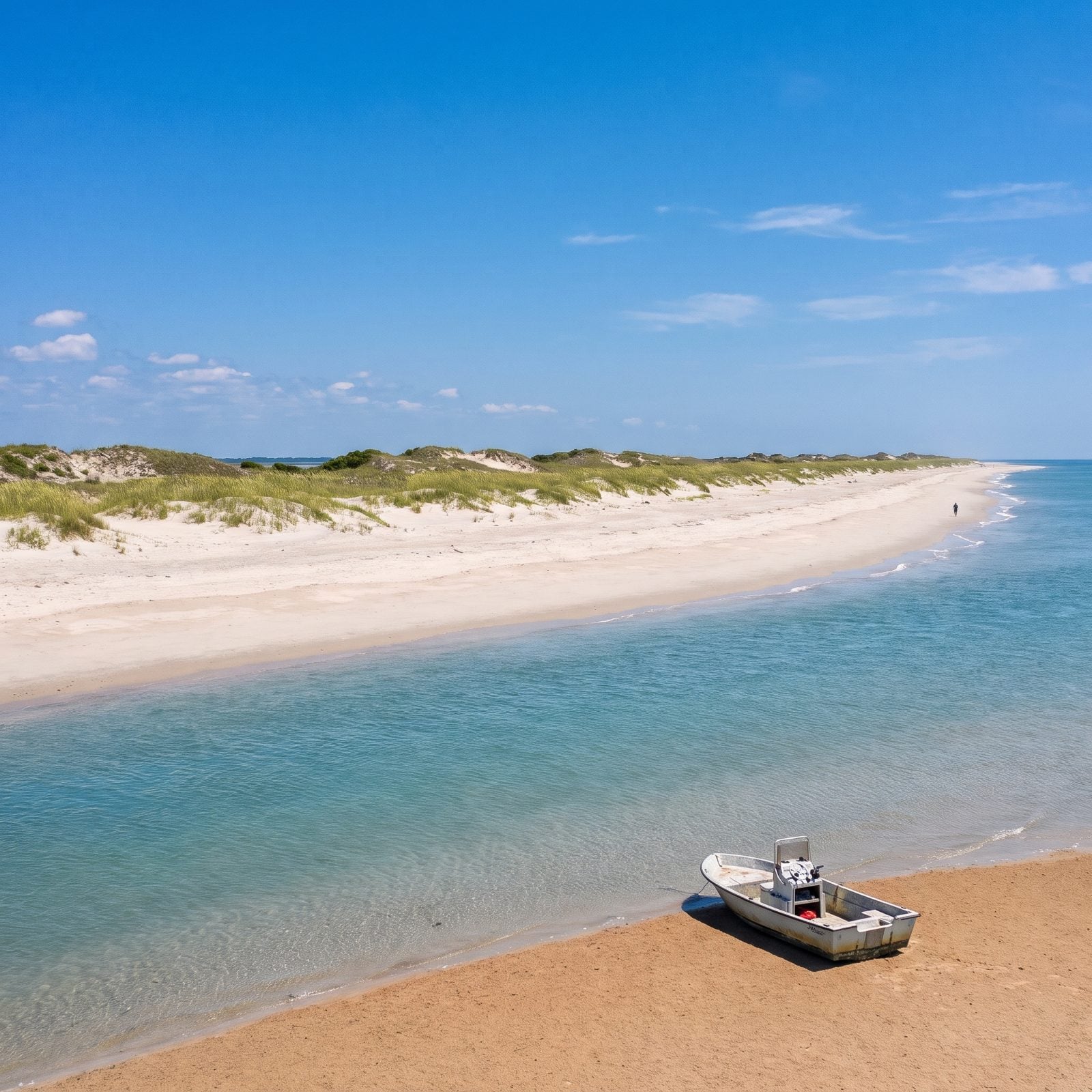
More than 5,600 acres of barrier island sitting about five miles southeast of Wilmington, with not a single road onto it. Masonboro is the largest undisturbed barrier island on the state’s southern coast, 8.4 miles of sand between Masonboro Inlet and Carolina Beach Inlet, and the only way in is by boat.
Most people launch from ramps around Wrightsville Beach, Carolina Beach, or Trails End Park, or pay for a private ferry, and boats usually land on the sound side at either end. You can camp two nights running. But you pack out every scrap, and you stay off the dunes.
16. Lea-Hutaff Island: The Uninhabited Stretch South of Topsail
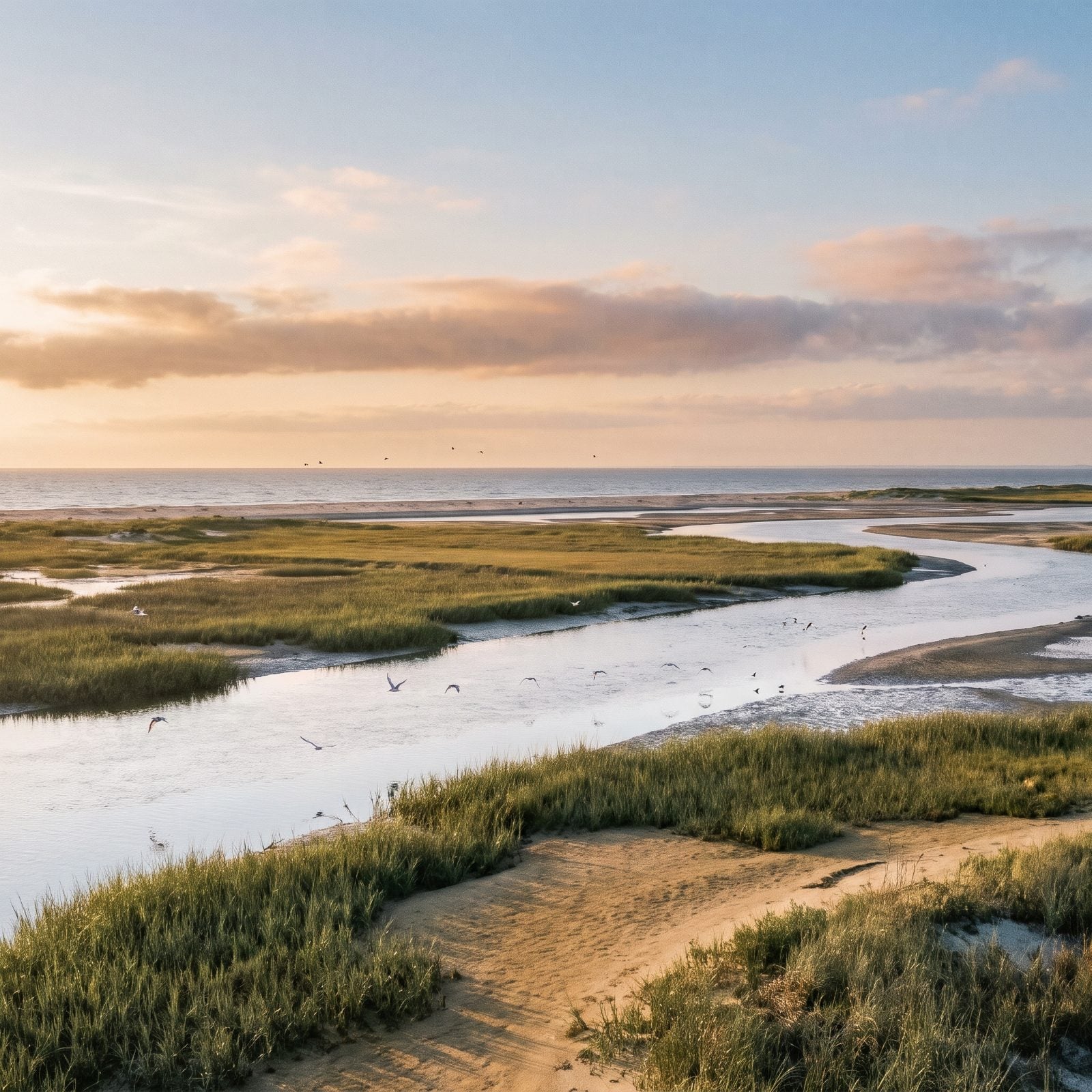
Roughly 5,600 acres of barrier island between Topsail Island and Figure Eight Island, and nobody lives there. Lea-Hutaff is a hiking, birding, and primitive camping island reachable only by boat, tucked into Pender County just south of Topsail.
Audubon North Carolina and the NC Coastal Land Trust worked to protect it, and Audubon calls it an important bird area. That matters more than it sounds. Sea turtles and shorebirds nest here, so where you walk and when you go are not up to you alone. Check for seasonal nesting closures before you point the bow at it, and keep clear of posted areas. The birds got here first.
15. The Point at Topsail Beach: 150 Acres That Almost Got Houses
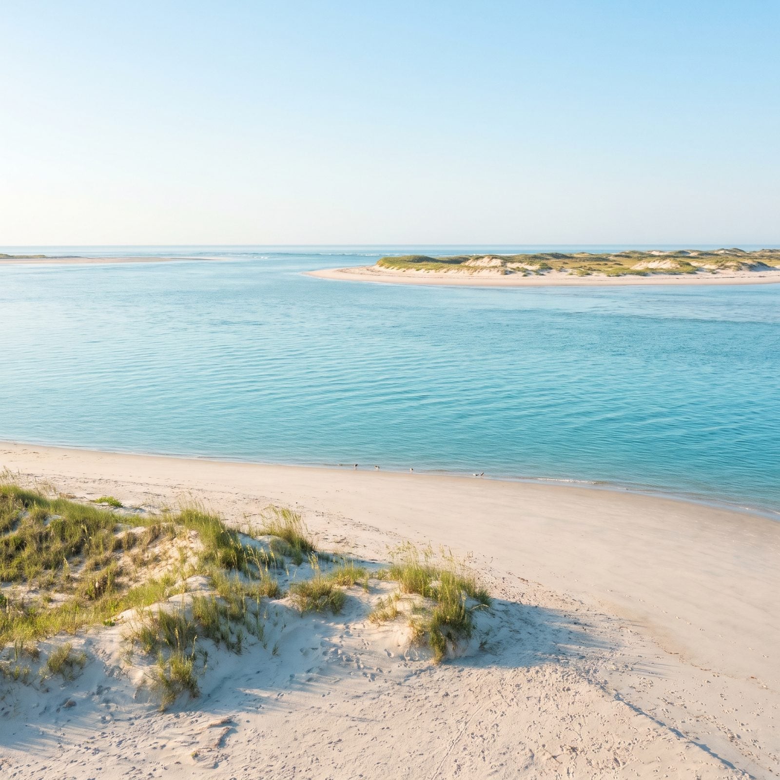
This one nearly became a subdivision. The Point is a 150-acre undeveloped tract at the south end of Topsail Island, looking across the inlet to Lea-Hutaff. It’s one of the last undeveloped oceanfront tracts on any North Carolina barrier island, a sentence that should make you a little sad about all the others.
In April 2025 the NC Coastal Land Trust bought it for $8 million with help from nearly 800 donors, and the land is slated to go to the State. Topsail Beach bought the one-acre parking area. Heads up: that south-end sound-side lot charges for parking, so bring a few dollars and don’t be the person circling for a free spot.
14. Bird Island Reserve: Walk to the Kindred Spirit Mailbox
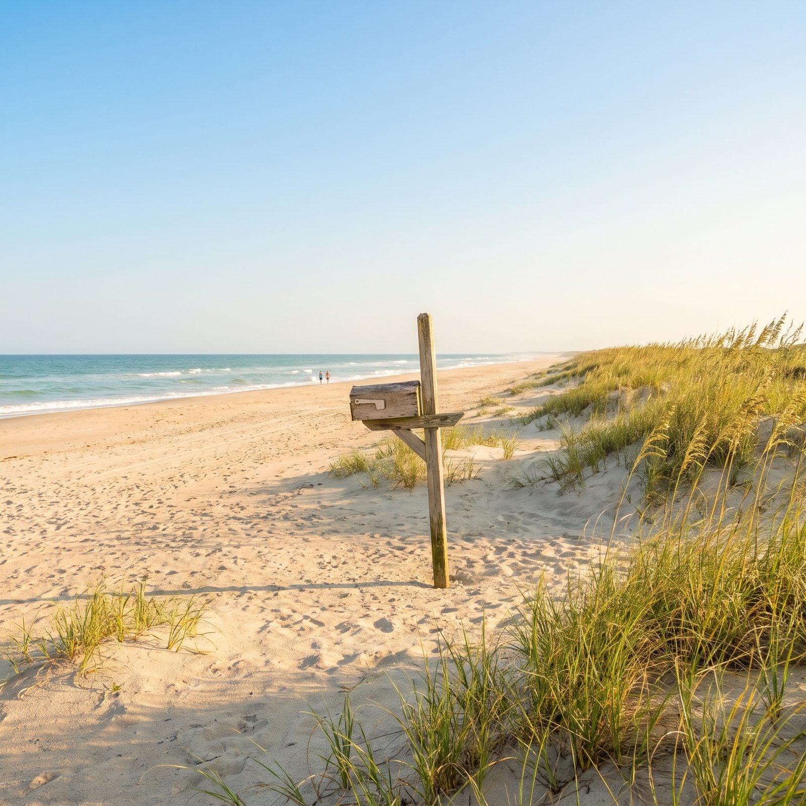
About 1,481 acres of undeveloped barrier island between Sunset Beach and Little River Inlet, the last North Carolina beach before you hit South Carolina. Here’s the twist: you can walk to it. Mad Inlet closed in 1999, so the island reconnected to Sunset Beach by sand.
Start at the 40th Street access, where paid parking is tight, and head west. The nature trail sits about 1.5 miles along. Volunteers lead guided walks the third Wednesday of each month from Oct 21, 2026 through May 19, 2027, running 1.4 miles each way to the Kindred Spirit mailbox, where strangers leave notes for strangers. No camping, no campfires. Boaters can reach the marsh side from the Intracoastal through creeks like Bonaparte Creek, draft and tide permitting.
13. Bear Island at Hammocks Beach: Ride the Ferry Through Cow Channel
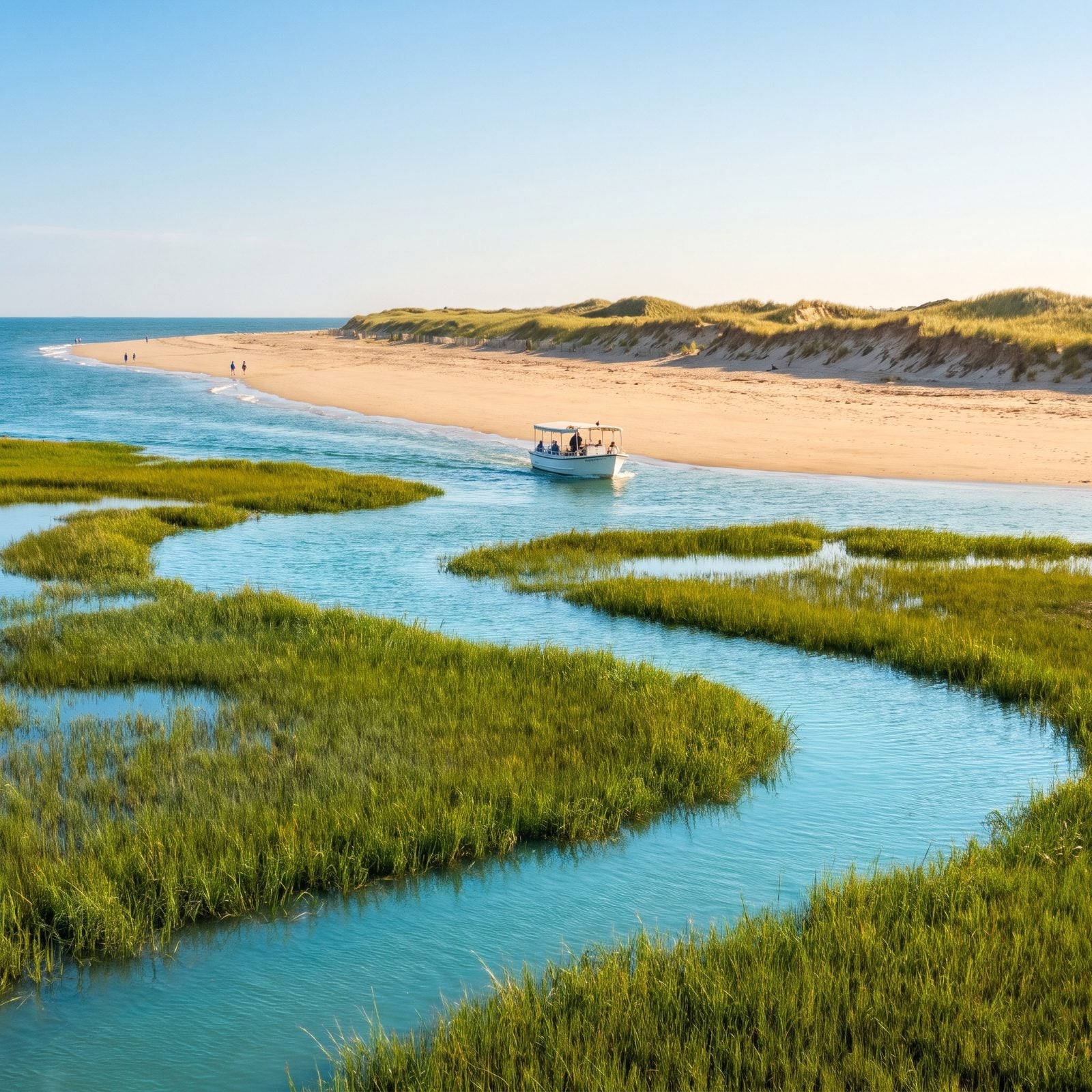
No bridge, just a ferry. Bear Island is a barrier island with a four-mile south-facing beach, and the state park ferry runs from the mainland visitor center through Cow Channel to get you there.
The catch is timing. The 2026 season opened April 3, the ferry runs seasonally, and tickets are first come, first served with no reservations, so show up early on a July Saturday or plan to wait. Lifeguards and concessions don’t start until Memorial Day weekend, which means an early-spring trip leaves you on your own. Bring water. Kayakers can skip the line entirely and paddle across, which is the move if you own a boat and a little patience.
12. Shackleford Banks: The Island the Wild Horses Run
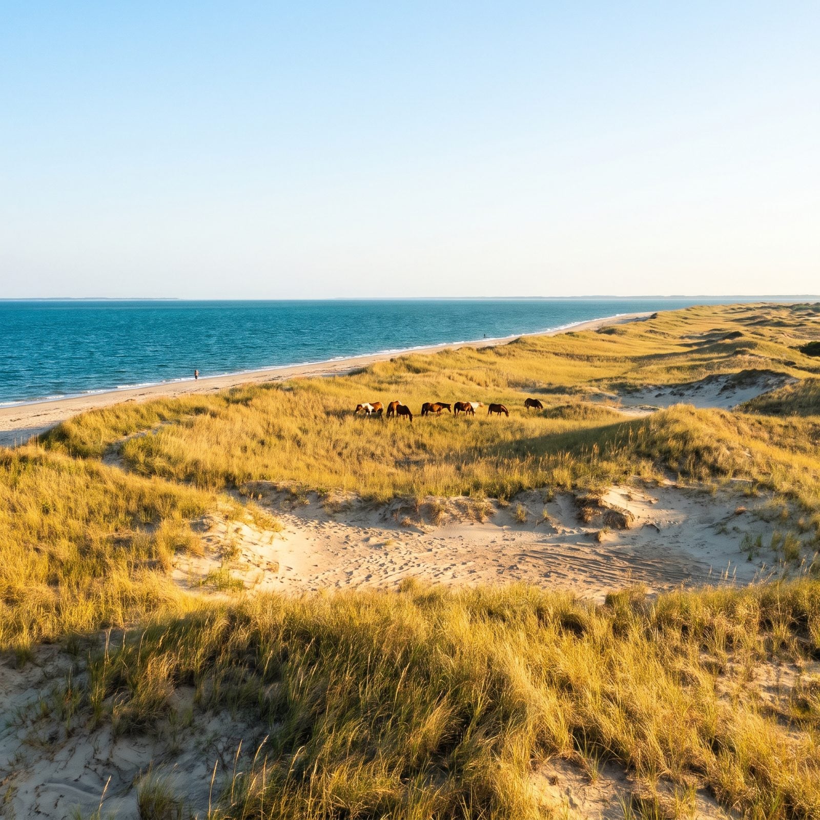
More than 100 wild horses live on Shackleford Banks, the southernmost island in Cape Lookout National Seashore, and they’re the whole draw and also the whole danger. Get there by private boat or the park’s authorized Island Express ferry, which runs from Beaufort to the west end (about a 20-minute ride) and from Harkers Island to the east.
No roads, no facilities, no restrooms. None. Bring your own water and everything else.
They’re wild animals that look like someone’s pony. Stay well back. A kick from a horse you were photographing is a terrible souvenir.
11. Cape Lookout Lighthouse Beach: Anchor Under the Diamonds
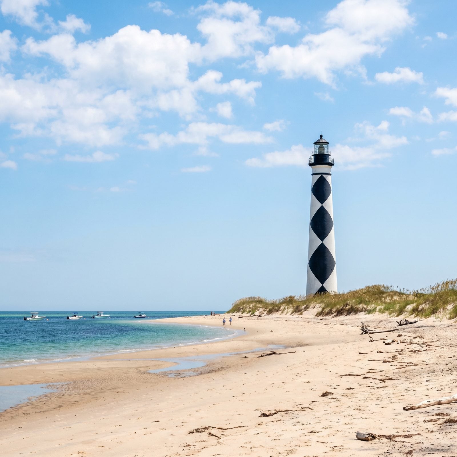
That black-and-white diamond lighthouse is the landmark every Carolina boater knows on sight. Island Express, the park’s authorized ferry, runs passenger boats from Harkers Island and Beaufort out to it, and the 12-mile trip from Beaufort takes about 40 minutes.
Boaters usually anchor right in front of the lighthouse. Paddling instead? You have to beach kayaks and canoes outside the swim buoys. A beach shuttle runs toward the point from mid-May to mid-September, and vehicle ferries from Davis serve the Great Island cabin camp on South Core Banks if you want to make a weekend of it.
10. Rachel Carson Reserve: Horses and Shoals Across from Beaufort’s Waterfront
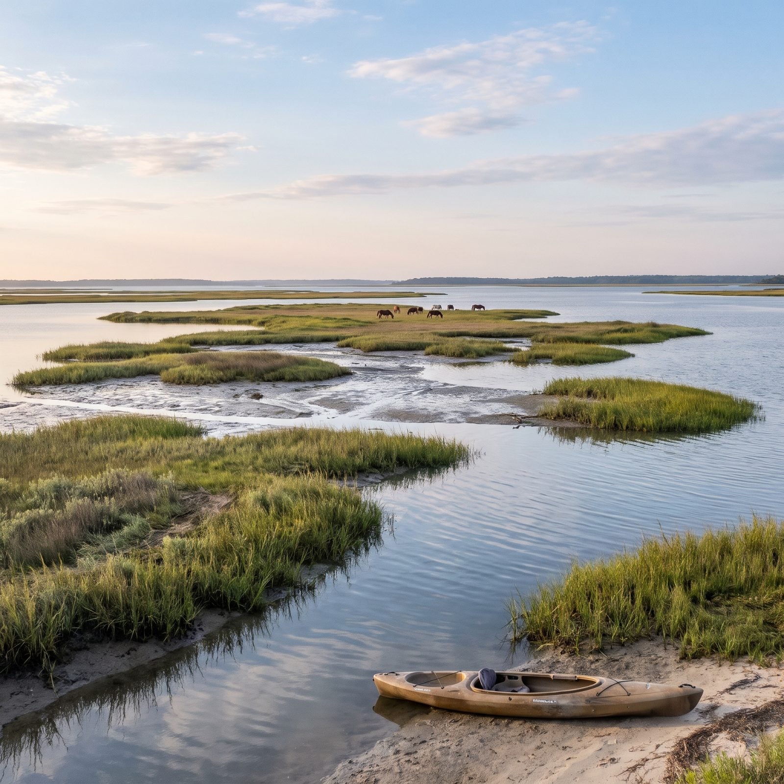
Stand on Beaufort’s waterfront and the wild islands across Taylor’s Creek are the Rachel Carson Reserve: Carrot Island, Town Marsh, Bird Shoal, and Horse Island, together more than three miles long. A herd of feral horses has lived there since the 1940s, and you must stay at least 50 feet back.
Access is boat-only. Motorboats launch from the Wildlife Resources Commission ramp at 2370 Lennoxville Road, and kayaks go in from designated spots on the Beaufort waterfront. Most people land near Town Marsh, the Carrot Island boardwalk, or Bird Shoal.
9. Portsmouth Island: A Ghost Village You Can Only Reach by Boat
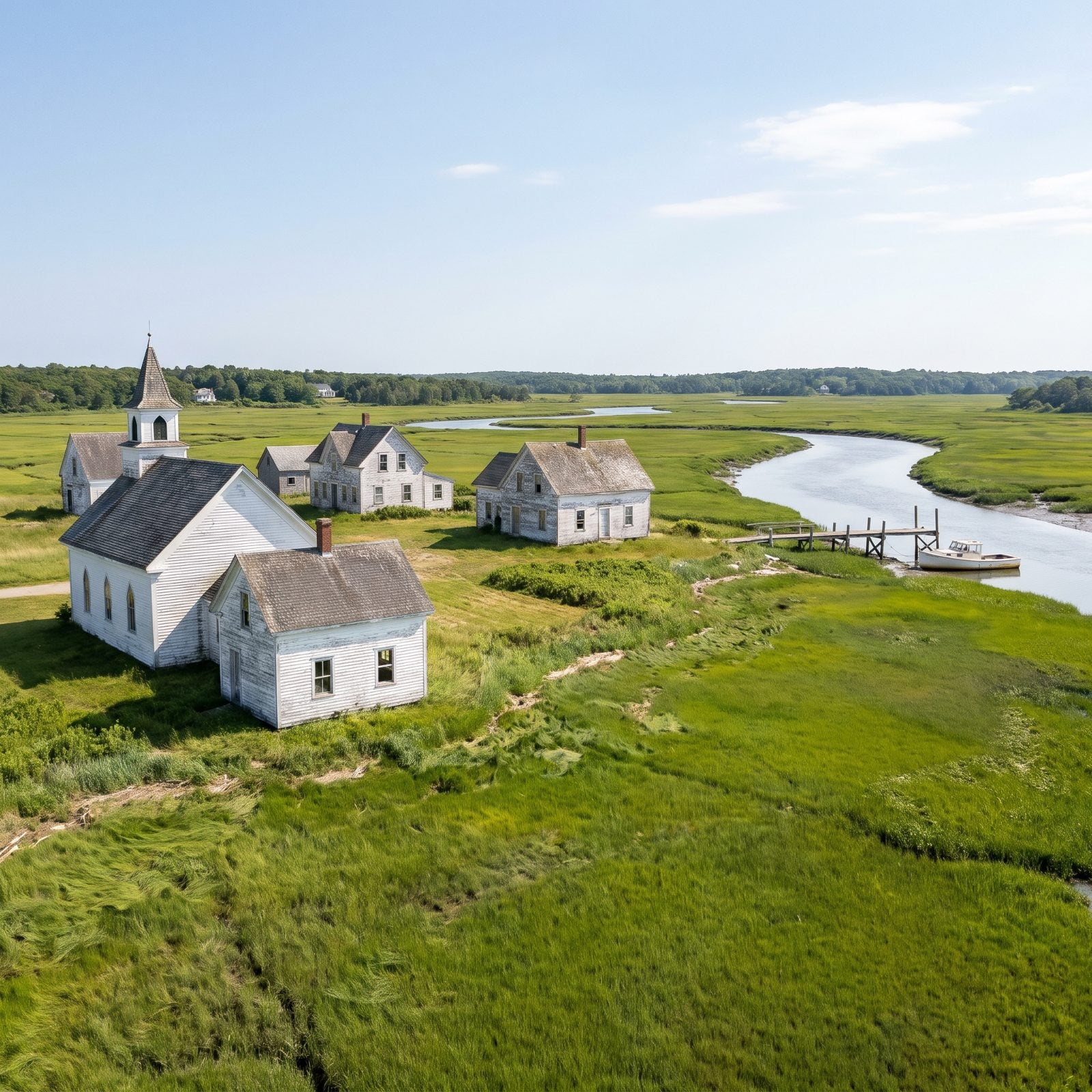
A whole village, no residents. Portsmouth, on the north end of North Core Banks across Ocracoke Inlet, is a preserved historic village in Cape Lookout National Seashore where the Park Service keeps the buildings and nobody lives. The church, the houses, the old post office, all empty.
You get there by boat only. A passenger ferry runs from Ocracoke and has to be booked by phone, no app, no website checkout. The Cod’s Creek and Portsmouth Village docks are open to boaters during their visit. And bring bug spray. The marsh mosquitoes here have a reputation that predates the ghost village, and they haven’t mellowed.
8. Carova Beach: Drive the Sand Where the Pavement Ends
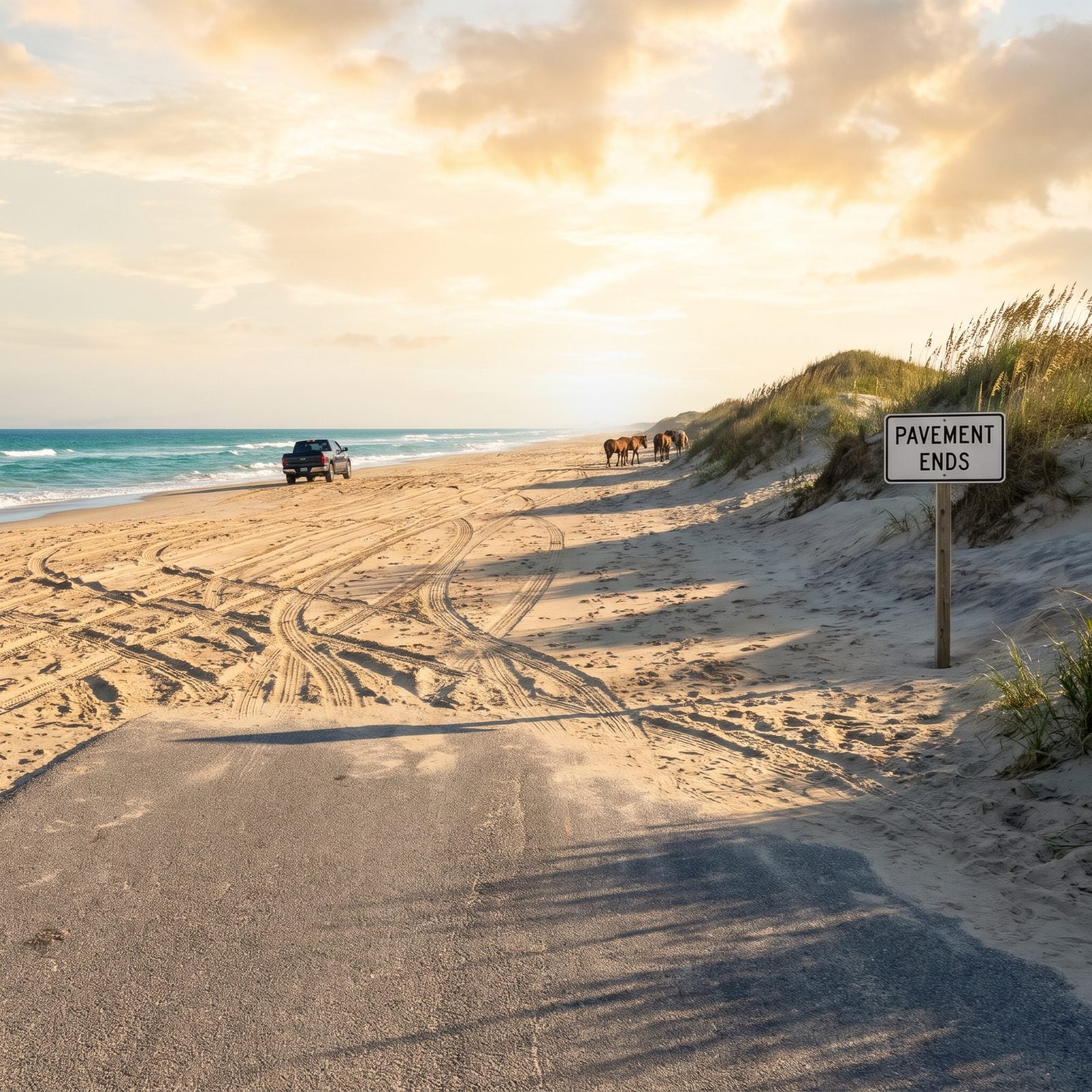
North of where NC 12 quits, the only road is the beach itself. Carova sits past the end of the pavement, and you reach it by driving on the sand, which means 4WD or nothing. The Corolla wild horses roam these beaches, there’s almost no commercial development, and at night it’s dark enough to see real stars.
Driving the beach is free, but local guides say Currituck County requires a beach parking permit in the 4×4 area. Confirm the current rules with Currituck County before you go, because rules change. Lower your tire pressure for the soft sand, and know your tide chart. Getting stuck up here is a long, expensive lesson.
7. Fort Fisher State Recreation Area, Kure Beach
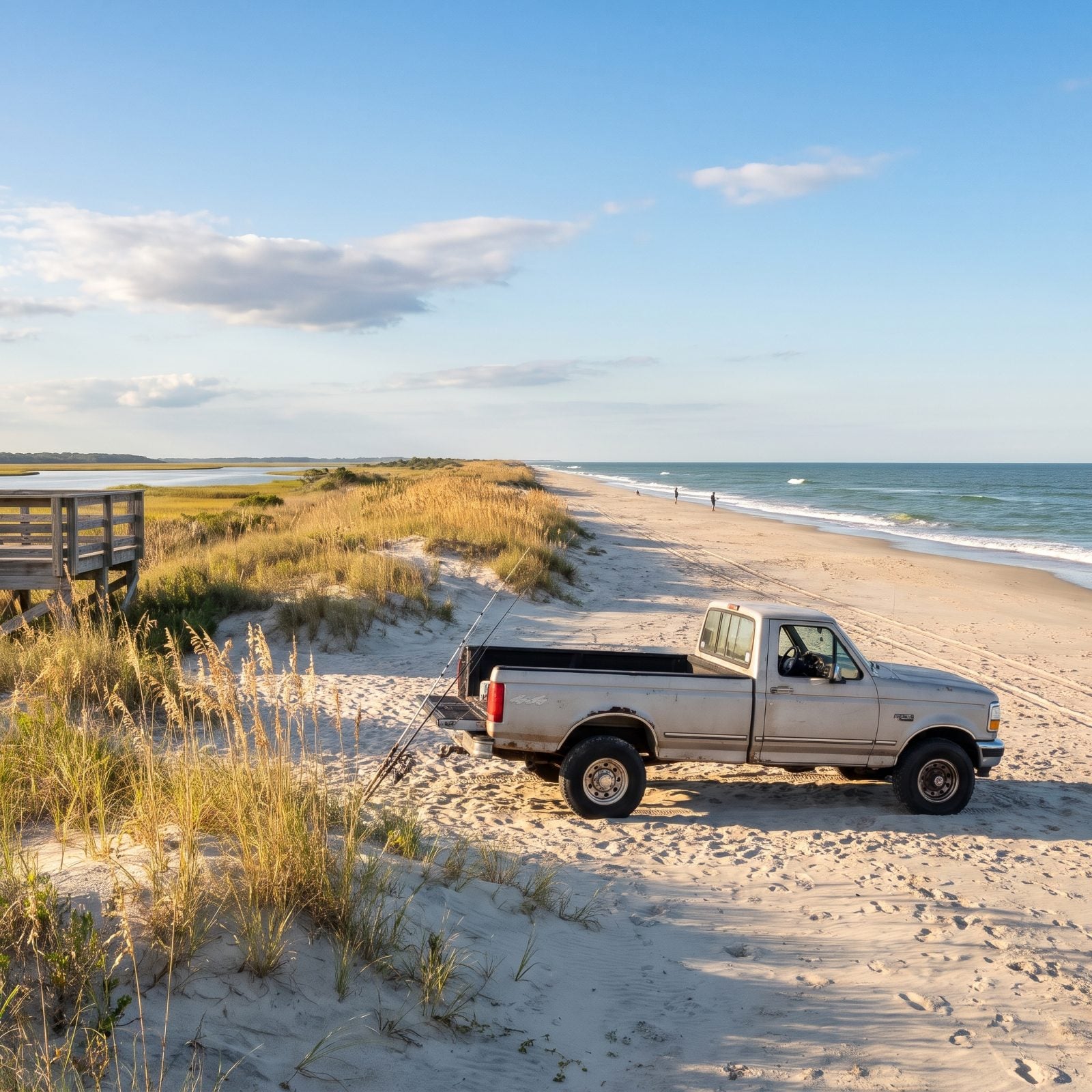
This is the only North Carolina state park that lets you drive your truck right onto the sand, which is exactly why surf casters love it. Air down your tires, nose up to the dune line at 1000 Loggerhead Road, and fish all day. Wilmington sits 18 miles north, so you can roll in before the coffee goes cold.
No camping in the park. This one’s a daytrip. In the warm months loggerhead sea turtles nest out here, so watch where you drive and where you plant your chair — those nests are easy to miss and impossible to replace. The salt-marsh trail ends at an observation deck that looks out over Zeke’s Island and the Cape Fear River, and it’s worth the walk.
6. Zeke’s Island Reserve, Just South of Kure Beach
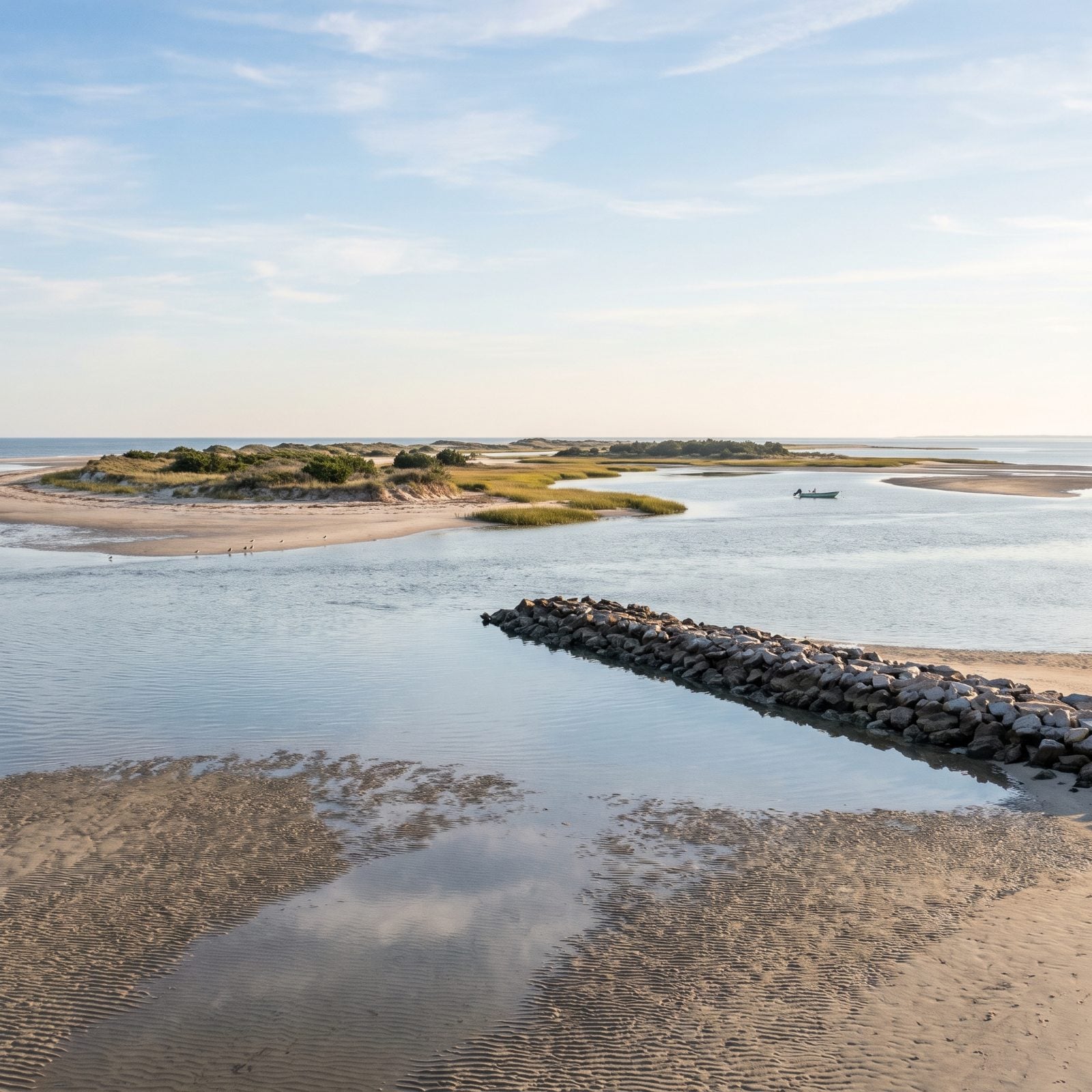
A scatter of islands just south of Kure Beach, Zeke’s rewards a shallow-draft boat and a quiet morning like few places left on this coast. The sheltered, lagoon-like water tucked behind the islands shelters shorebirds, so you’ll see more wings than people out here. Tidal flats, salt marsh, maritime forest, dunes, open ocean beach — the whole spread crammed into one small reserve.
You get here by boat or on a guided kayak tour. Yes, there’s a breakwater called The Rocks. No, it isn’t a walkway. The reserve says plainly that crossing The Rocks on foot is not a proper way in, and they mean it. Go by water.
5. Pea Island National Wildlife Refuge, Rodanthe
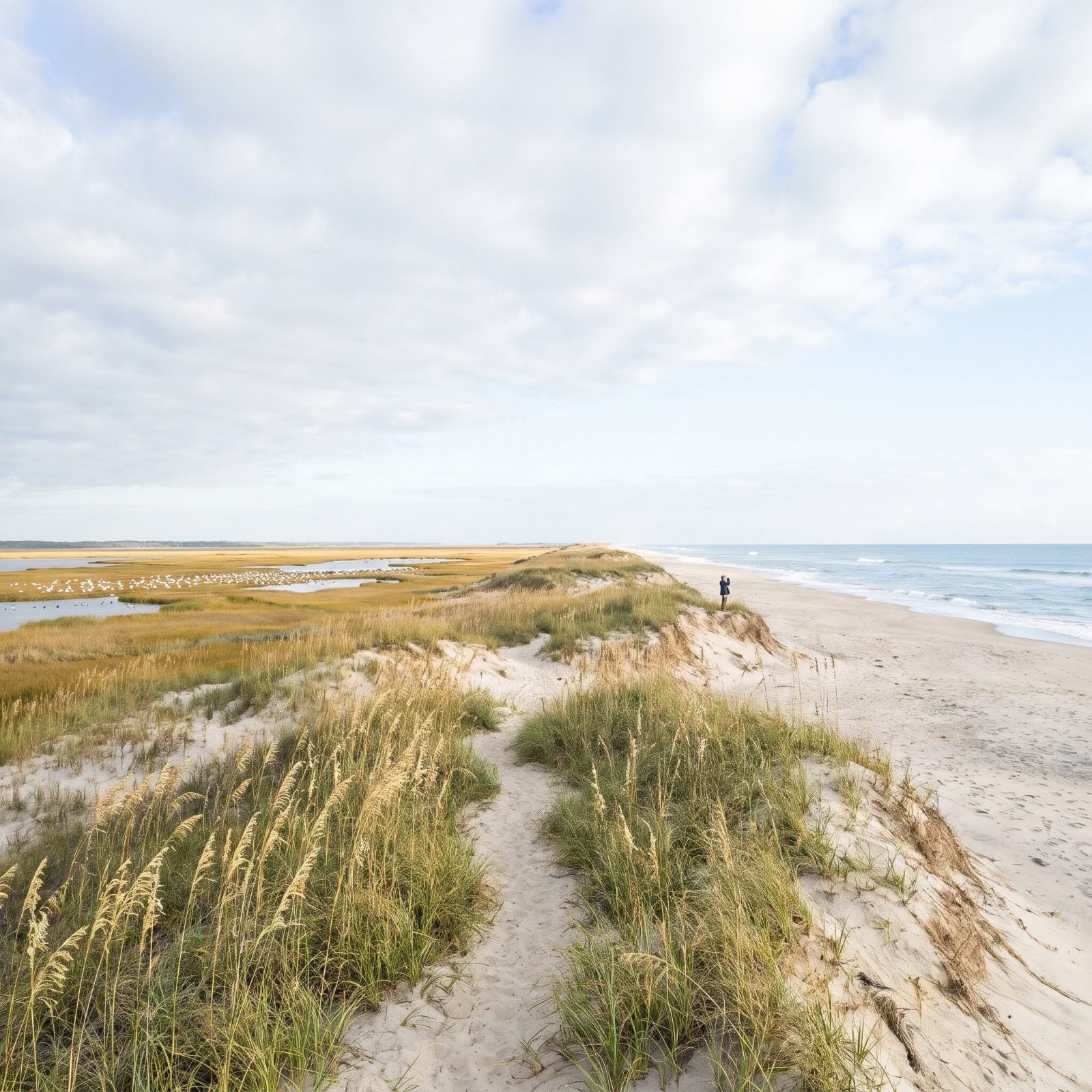
Thirteen miles of barrier-island beach and almost nobody on it. That’s the deal at Pea Island, a nearly 6,000-acre refuge covering the north end of Hatteras Island. It was set up in 1938 for migratory birds, and the bird people adore it — hundreds of species have turned up here over the decades, including the greater snow geese it was built to protect.
Park along NC 12. The visitor center lot works, and so does the beach lot north of the Jughandle Bridge. From there you walk toward water you’ll likely have to yourself.
4. Coquina Beach, Between Nags Head and Oregon Inlet
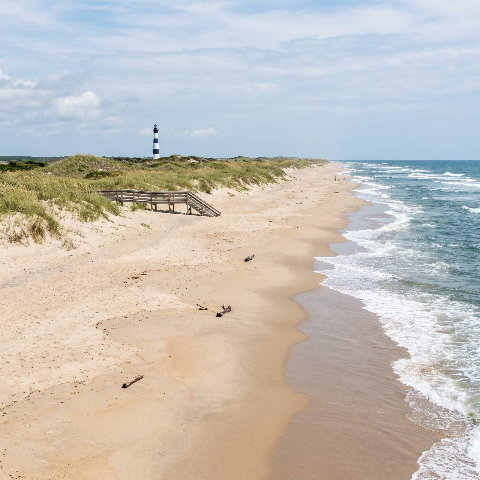
Want a big, calm beach day without circling for a parking spot? Coquina is the quiet pick. It sits in Cape Hatteras National Seashore between Nags Head and Oregon Inlet, right off NC 12 near the turn for the Bodie Island Lighthouse — undeveloped, uncrowded, and still easy to reach, which almost never happens on the Outer Banks.
The Park Service staffs Coquina with lifeguards in summer, so it’s a solid family beach when they’re on duty. Those dates shift year to year, though, and nobody tells you until you’re standing there. Check the current lifeguard schedule before you count on it.
3. Jockey’s Ridge Soundside Access, Nags Head
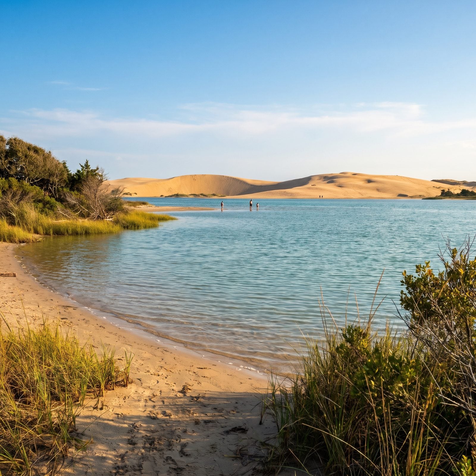
Not every good beach faces the ocean. The Soundside Access at Jockey’s Ridge State Park, at 330 W. Soundside Road, sits on Roanoke Sound, where the water lies flat and shallow and warm enough that toddlers wade, grandparents paddle, and nobody spends the afternoon bracing for a sneaker wave.
A short nature trail wanders past wetlands, grassy dunes and maritime thicket. And towering behind all of it is the park’s claim to fame: the tallest living sand dune on the Atlantic coast. Come for the calm water, stay to climb something enormous.
2. Ocracoke Island, Reached Only by Ferry or Boat
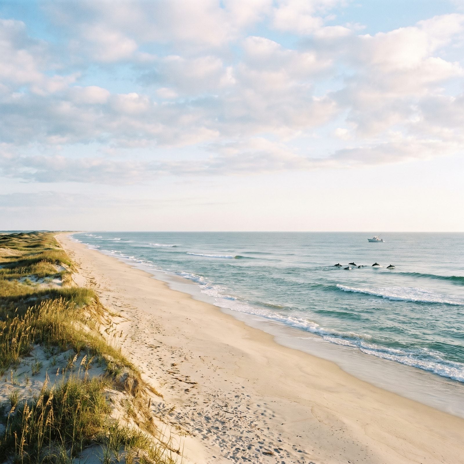
Getting here is half the point. There’s no bridge to Ocracoke. You arrive by NCDOT ferry, private boat or small plane, and that bit of effort is precisely what keeps the crowds thin. Most of the shoreline falls inside Cape Hatteras National Seashore — miles upon miles of federally protected, undeveloped beach.
Watch the water offshore and dolphins cruise past more often than you’d expect. The Park Service lifeguards one day-use beach in summer; the rest of that long sandy stretch is yours to wander. Pack what you need. This isn’t a boardwalk kind of place, and honestly, that’s the whole charm of it.
1. Bald Head Island, a 20-Minute Ferry from Southport
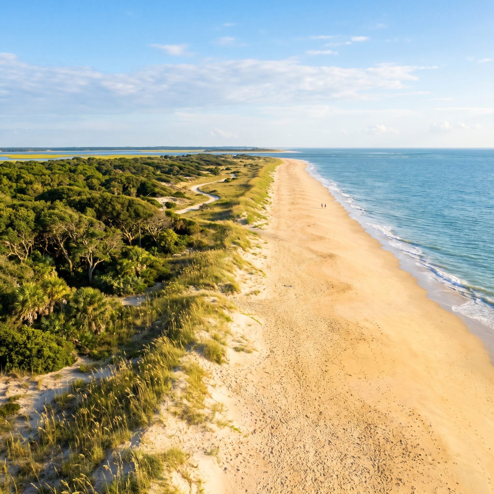
Leave the car in Southport. Bald Head Island doesn’t have any. You cross on a 20-minute ferry (or your own boat) and get around by golf cart, foot or bike for the rest of your stay. That single rule changes the whole feel of the place, and you notice it fast.
There are 14 miles of beach here, including Cape Fear Point, where Frying Pan Shoals trails off far into open water. Nature preserves cover most of the island, so the maritime forest presses right up against the sand — a rare thing to see undeveloped. Regulars point you to East Beach as the easiest to reach and a good first stop.